Vensterklip - Baviaanskloof Hartland
- Baviaanskloof Hartland
- +27 (0)44 934 1012
- +27 (0)82 215 5175
- info@baviaansklooftourism.co.za
Location
- Longitude: 23.806928
- Latitude: -33.509438
- Map
About Vensterklip

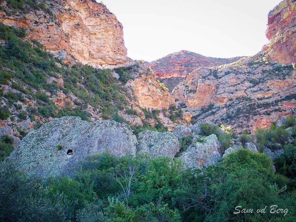
During the Anglo-Boer war of 1899-1902, a skirmish between police and a group of aspiring Boer rebels took place in the area of Vensterklip