The Leopard Trail
Contact Catherine
- 074 939 4395
- 074 939 4395
- reservations@gobaviaans.co.za
- Visit Website
- Follow on Facebook
Location
-
Baviaans Farming Community
- Longitude: 23.715984
- Latitude: -33.575252
- Map
Activities
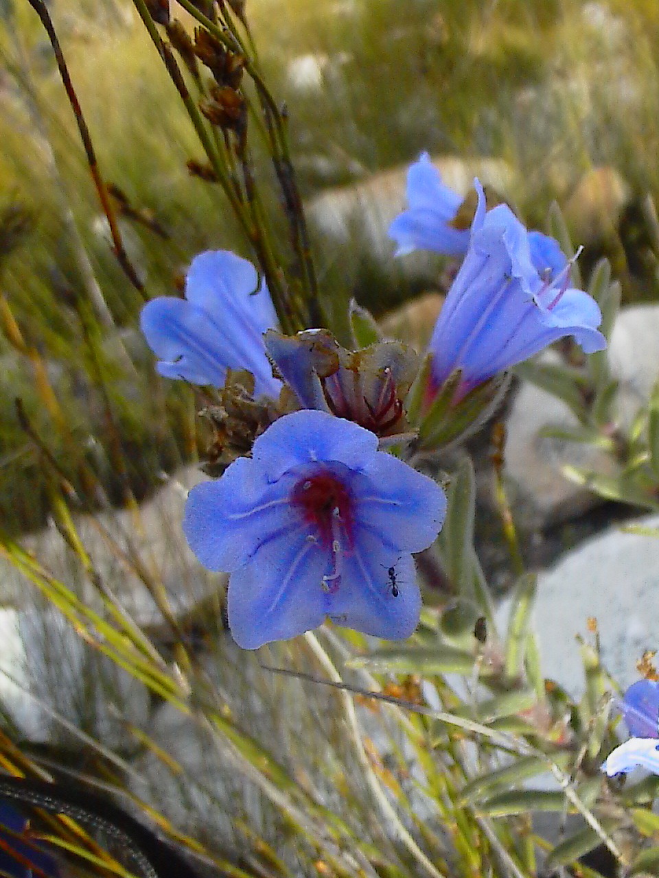
- Bird Watching
- Hiking / walking
Languages
- English
- Afrikaans
Payment Options
Rates
R2400 per person, slack packing included
Rates Disclaimer
- Rates may vary and reduced rates may apply to additional persons. All rates are indicative only, may be seasonal and are subject to change without notice.
About The Leopard Trail

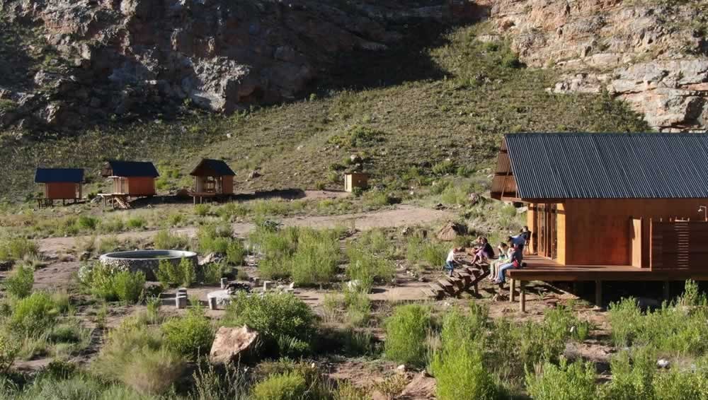
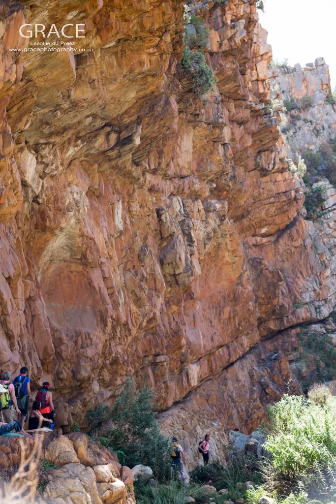
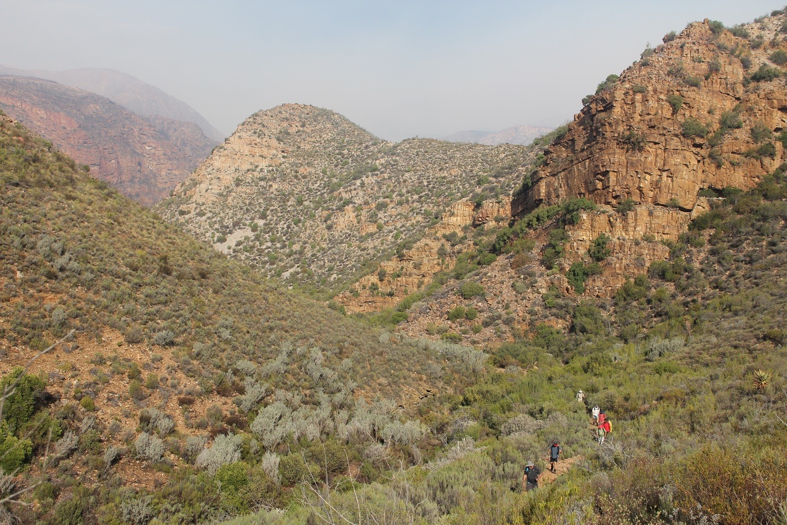
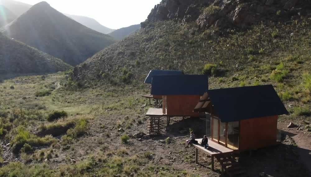
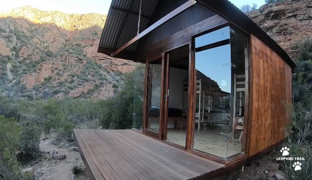
The Leopard Trail is a 4-day and 3-night hike set in the magnificent Baviaanskloof World Heritage Site Wilderness Reserve. This is a slackpacking hike – each day we transport your bags and food from one overnight hut to the next, leaving you to walk with only a day pack.
The Leopard Trail is a moderately difficult hike with the longest day being 22km. The route is designed for people of good hiking fitness.
R12800 per sleeping hut for 4 people.
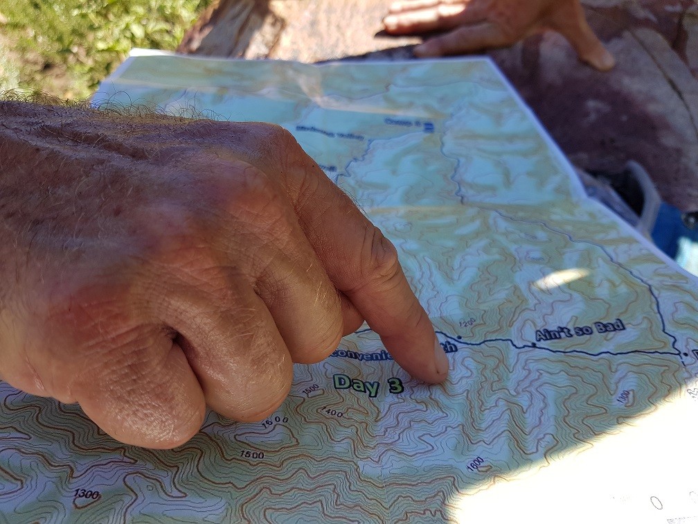
Map and Directions to The Leopard Trail
Option A: Coming from Willowmore (1 hour travel time)
Head out from Willowmore on the N9 towards Uniondale. Three kilometers out of Willowmore, take the road on your left signposted “Baviaanskloof”. Keep going straight on this road for 31 km. At this point you will descend into the Nuwe Kloof Pass. From the bottom of the pass keep going on the road for another 7.4km, until you come to a road on your right hand side with the sign “Cedar Falls”. Take this road and keep going for 7 km. The road ends at Cedar Falls Basecamp.
Option B: Coming from Uniondale (1 hour 30 minutes travel time)
Head out of Uniondale on the N9 to Willowmore. After roughly 26 km turn right into a dirt road, with a sign board saying “Baviaanskloof / Vaalwater”. After 19.5 km you will come to a T junction, turn left following the “Baviaanskloof” sign. Keep going for 14.7 km, and then take a right at the T Junction, once again following the “Baviaanskloof” sign (it almost seems like a sharp U bend.) While on this road you will go through the magnificent Nuwe Kloof pass. From the bottom of the pass keep going on the road for another 7.4km, until you come to a road on your right hand side with sign “Cedar Falls”. Take this road and keep going for 7 km. The road ends at Cedar Falls Base Camp.
Option C: Coming from Patensie through the Baviaanskloof ( Travel time 4 to 5 hours – this route requires a 4×4 vehicle).
Leaving Patensie, head into the Baviaanskloof World Heritage Site. Travel through the reserve, keeping on the main dirt road. Once you have left the main stone gate of the Wilderness Area on the Western end near Sandvlakte, travel for another 59 km until you come to the turnoff to Cedar Falls on the left hand side. The turn off is sign posted to “Cedar Falls”. Take this road and keep going for 7 km. The road ends at Cedar Falls Base Camp. Please note this road takes about 6 hours from Patensie to Cedar Falls so please make sure you have enough time.